http://www.gearthblog.com/
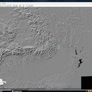
GEB reader Jiro Shirota wrote to say he has completed a dynamic KML which shows Shuttle Radar Topography Mission (SRTM) digital elevation model in a shaded relief format for the Earth. He had previously released one for just North America back in 2007. The new global shaded relief map


0 comentarii:
Trimiteți un comentariu